The Evolution of Aerial Photography: From Hot Air Balloons to Drones
The history of aerial photography dates back to the mid-19th century, when hot air balloons were first used to capture images from above. The earliest known aerial photograph was taken in 1858 by French photographer Gaspard-Félix Tournachon, known as Nadar, using a balloon. This innovative method revolutionized how people viewed landscapes and cities, allowing them to see familiar places from a completely new perspective. As technology advanced, the introduction of kite photography and later, airplanes, further expanded the capabilities of capturing aerial images, making it more accessible and refined. By the early 20th century, aerial photography found its place in military reconnaissance and mapping, significantly enhancing its importance in various fields.
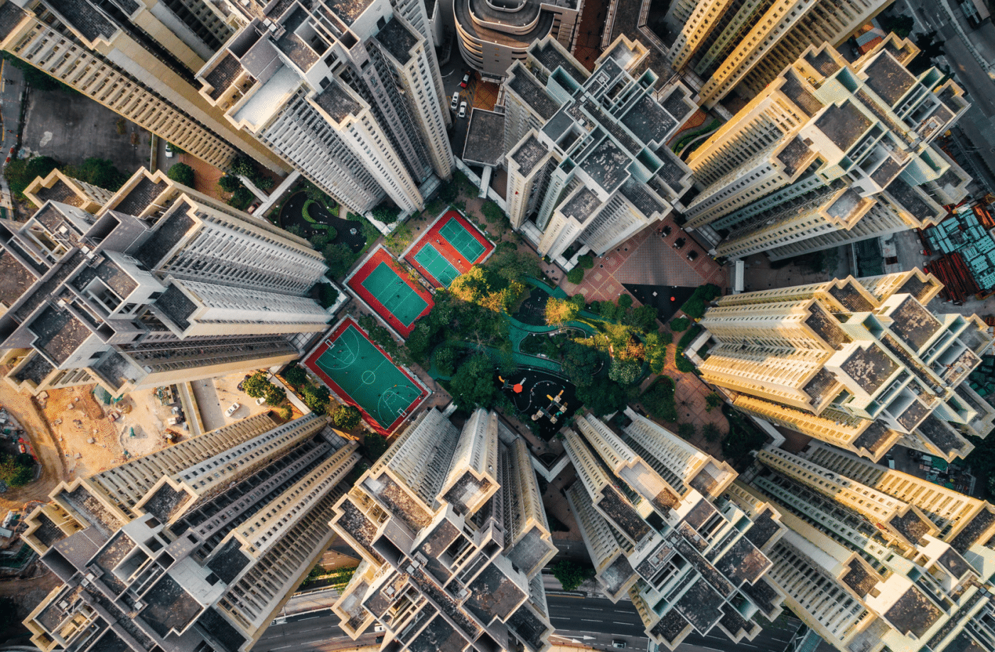
The arrival of drones in the 21st century marked the latest and most significant leap in the evolution of aerial photography. These unmanned aerial vehicles (UAVs) have democratized aerial photography, enabling enthusiasts and professionals alike to capture stunning aerial images and videos with unprecedented ease and affordability. Modern drones are equipped with advanced features like 4K cameras, GPS stabilization, and real-time streaming capabilities, allowing users to explore and document the world from the skies like never before. As drone technology continues to advance, the creative possibilities for aerial photography are virtually limitless, inspiring a new generation of photographers and videographers to capture breathtaking perspectives from above.
How Aerial Photography Enhances Real Estate Marketing Strategies
Aerial photography has revolutionized the way real estate properties are marketed, providing a unique perspective that traditional photography cannot match. By capturing stunning overhead images, agents can showcase the property's location, surrounding amenities, and overall appeal. This visual element not only attracts potential buyers but also helps properties stand out in a competitive market. With vivid imagery that highlights the beauty and layout of a property, aerial photography allows for a comprehensive view that enhances an online listing, making it more engaging and informative.
Furthermore, incorporating aerial photography into real estate marketing strategies can significantly boost SEO efforts. High-quality images, especially those taken from above, are more likely to be shared on social media and other platforms, generating organic traffic and increasing visibility. According to studies, listings with professional aerial photos can receive 68% more inquiries than those without. Utilizing this innovative marketing tool not only promotes the property effectively but also places the agent as a forward-thinking professional in the industry, ready to utilize modern techniques for success.
The Impact of Aerial Photography on Environmental Conservation Efforts
The utilization of aerial photography has significantly transformed the landscape of environmental conservation initiatives. By offering a bird's-eye view of ecosystems, aerial imagery allows conservationists to monitor changes and assess the health of natural habitats with unprecedented precision. This technology not only streamlines data collection but also enables the identification of critical areas requiring protection. For instance, aerial photography has proven invaluable in tracking deforestation rates, measuring the impact of urban development, and observing wildlife populations, which assists organizations in making informed decisions and implementing effective conservation strategies.
Moreover, the insights gained from aerial photography can enhance public awareness and engagement in conservation efforts. By showcasing the beauty and vulnerability of natural landscapes, these stunning visuals have the power to inspire action among communities and policymakers alike. When individuals and organizations see the direct consequences of environmental degradation from above, it fosters a sense of responsibility and urgency to protect endangered ecosystems. As such, aerial photography not only serves as a powerful tool for monitoring and research but also plays a vital role in educating the public and galvanizing support for environmental protection initiatives.